Universal Spatial Intelligence
One powerful vision across every sector.
Municipal Waste OS and Enterprise Fleet OS are active and production-ready today. Rescue, Forestry, and Utility solutions share the same underlying geospatial engine and are available as custom enterprise rollouts on request.
Municipalities & City Sanitation
"This is for me if I manage city cleaning, waste collection, or urban civic services."
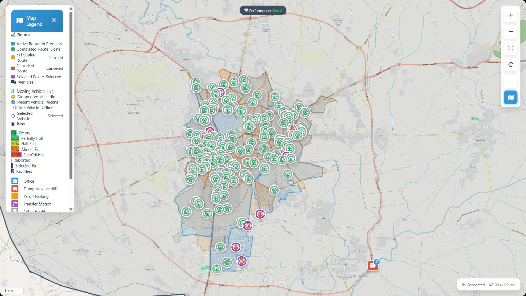
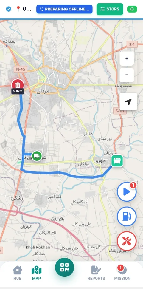
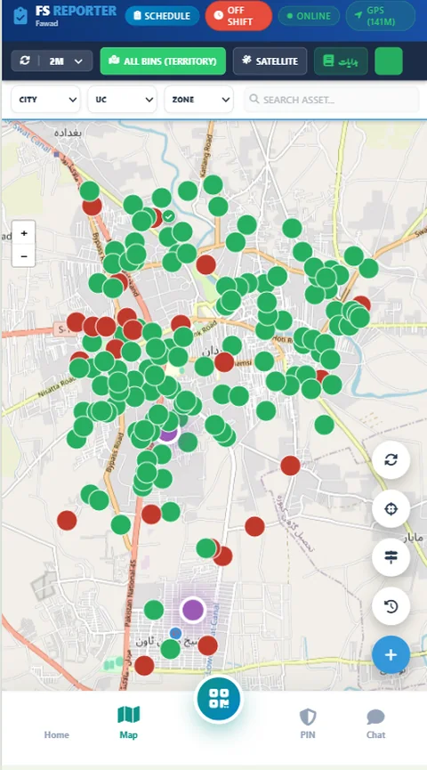
Track waste compactors live, monitor smart bin fill levels, guide drivers along streets with turn-by-turn navigation, and verify bin clearance with tamper-proof before/after photos.
Enterprise & Transport Fleets
"This is for me if I manage company vehicles, motor pools, or executive transport."
Move from paper requisitions to digital officer bookings, supervisor approvals, daily 2-minute safety walkaround checks, dual odometer photo audits, and video-like trip replay.
Emergency Services & Rapid Rescue
"This is for me if I coordinate rescue teams, ambulances, or rapid responders."
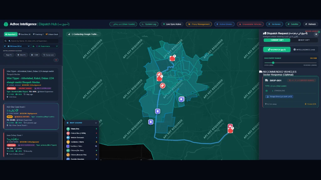
Gain instant birds-eye awareness with live unit telemetry, rapid incident dispatch, real-time perimeter radar, and instant voice communication to frontline teams during critical missions.
Powered by MYMAAN Spatial Core · Available on Custom Request
Forestry, Wildlife & Parks
"This is for me if I protect forests, monitor wildlife reserves, or manage park rangers."
Keep remote patrols connected with 100% offline trail GPS, boundary geofences, ranger patrol logging, and instant photo-verified incident reporting across vast terrain.
Powered by MYMAAN Offline GIS Core · Available on Custom Request
Utilities & Field Survey OS
"This is for me if I oversee utility grids, property census, field inspections, or mobile surveyor teams."
Replace paper forms with custom offline mobile apps. Capture verified GPS points, log surveyor walking trails, audit infrastructure quality, and download auto-calculated Excel reports in one click.
Sub-3m Satellite GPS · Worker Breadcrumbs · 100% Offline · Automated Reports
Live Map Intelligence
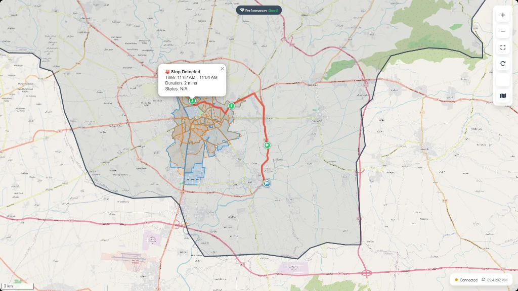
See your assets, service zones, routes, and active vehicles clearly on high-resolution interactive maps.
Real Field Accountability
Structured mobile tasks, status milestones, and camera proof help frontline teams follow consistent daily processes.
Executive Reporting
Turn raw GPS coordinates and field logs into automated dashboards and clear reports for senior decision-makers.